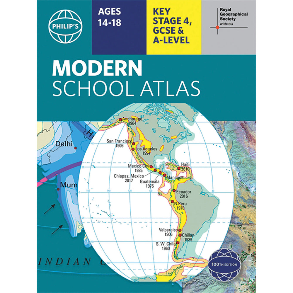

Modern School Atlas
- Dhs. 113.85 AED
- Dhs. 113.85 AED
- Unit price
- per
Subtotal:
Dhs. 113.85


Description
x184 pages. Reference work for secondary education, that is recommended for GCSE/A-level and Standard Grade Highers. Features a series of introductory spreads explaining latitude/longitude, scale, map projections, satellite imagery and remote sensing; a 32 page British Isles section, 74 pages of world relief maps and 38 pages of world thematic maps and statistics. The index to the relief maps gives letter-figure grid references as well as latitude and longitude coordinates.
Related Products
Example product title
- Dhs. 113.85 AED
- Dhs. 113.85 AED
- Unit price
- per
Example product title
- Dhs. 113.85 AED
- Dhs. 113.85 AED
- Unit price
- per
Example product title
- Dhs. 113.85 AED
- Dhs. 113.85 AED
- Unit price
- per
Example product title
- Dhs. 113.85 AED
- Dhs. 113.85 AED
- Unit price
- per
Example product title
- Dhs. 113.85 AED
- Dhs. 113.85 AED
- Unit price
- per
Example product title
- Dhs. 113.85 AED
- Dhs. 113.85 AED
- Unit price
- per
Example product title
- Dhs. 113.85 AED
- Dhs. 113.85 AED
- Unit price
- per
Example product title
- Dhs. 113.85 AED
- Dhs. 113.85 AED
- Unit price
- per
Example product title
- Dhs. 113.85 AED
- Dhs. 113.85 AED
- Unit price
- per
Example product title
- Dhs. 113.85 AED
- Dhs. 113.85 AED
- Unit price
- per
Recently Viewed Products
Example product title
- Dhs. 113.85 AED
- Dhs. 113.85 AED
- Unit price
- per
Example product title
- Dhs. 113.85 AED
- Dhs. 113.85 AED
- Unit price
- per
Example product title
- Dhs. 113.85 AED
- Dhs. 113.85 AED
- Unit price
- per
Example product title
- Dhs. 113.85 AED
- Dhs. 113.85 AED
- Unit price
- per
Example product title
- Dhs. 113.85 AED
- Dhs. 113.85 AED
- Unit price
- per
Example product title
- Dhs. 113.85 AED
- Dhs. 113.85 AED
- Unit price
- per
Example product title
- Dhs. 113.85 AED
- Dhs. 113.85 AED
- Unit price
- per
Example product title
- Dhs. 113.85 AED
- Dhs. 113.85 AED
- Unit price
- per
Example product title
- Dhs. 113.85 AED
- Dhs. 113.85 AED
- Unit price
- per
Example product title
- Dhs. 113.85 AED
- Dhs. 113.85 AED
- Unit price
- per
- Choosing a selection results in a full page refresh.